DuckLinks deploy quickly expanding connectivity with other Ducks in the area. Any transmissions, data, or activity on this network will permeate to the PapaDuck, who operates as a gateway to the World Wide Web.
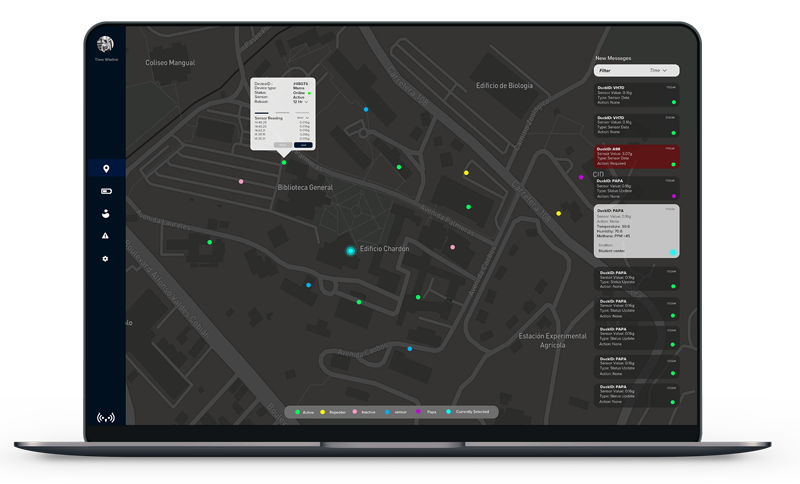
The OWL Data Management Software helps you administer and visualize the activity on the ClusterDuck network in near real-time. Observe geographic, sensor, or messaging data with the OWL DMS.

Extract data from OWL Data Management and transfer it to your own enterprise systems. This is useful if your organization already has incident management and visualization tools in place.
OWL accumulates data to paint a clear operating picture of an incident. Data may come from civilians or first responders on the Clusterduck network, DuckLink sensors, or from external APIs.
Join our community on Discord to continue the conversation, or visit the community page see other ways we can build technology together

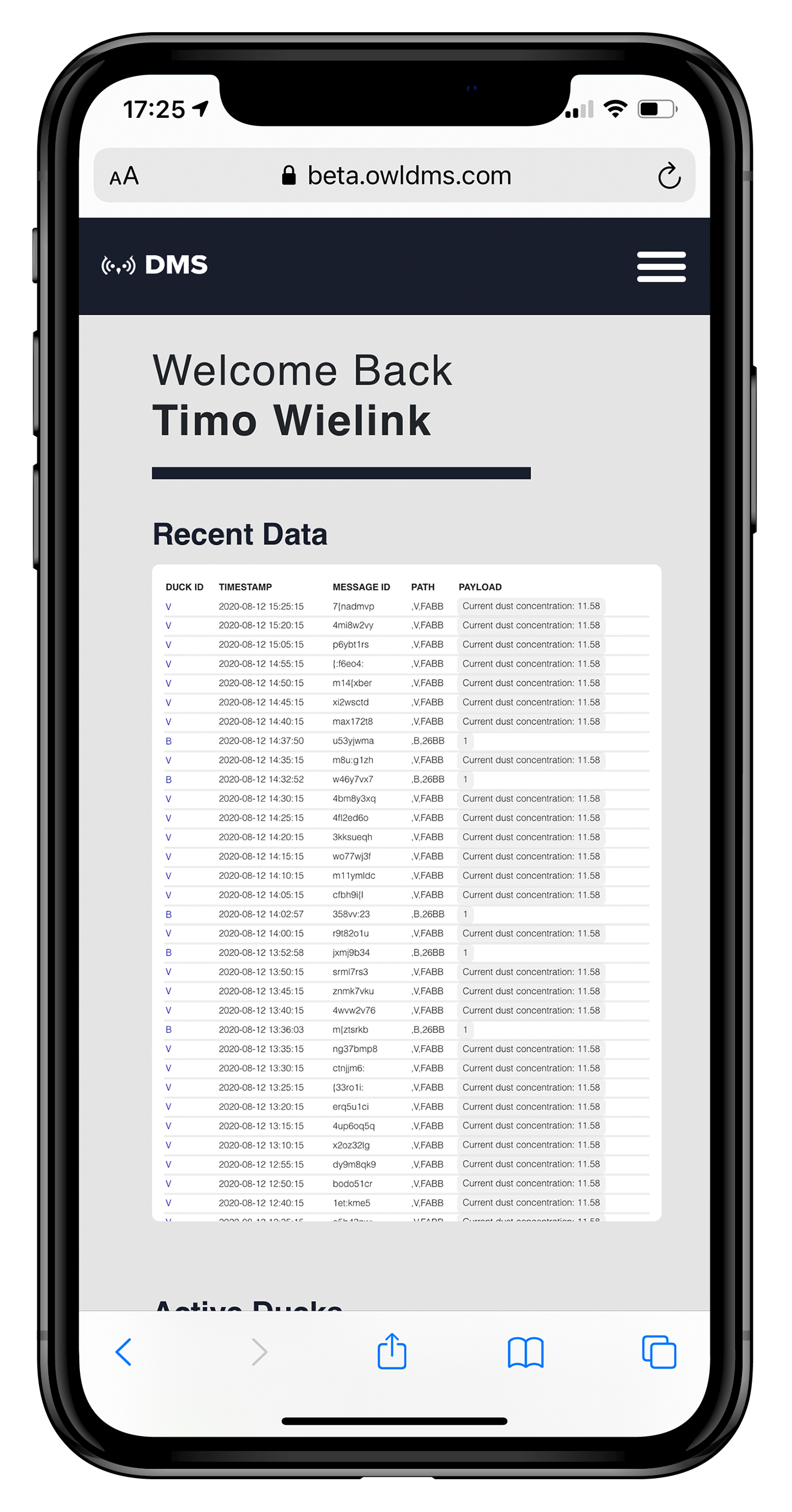
Project OWL technology is usable directly from your phone.
View your geograpic data directly from your smart phone, anywhere in the world.
Access the DuckLinks via the WiFi built-in to your cell phone and start communicating on the network.
Connect to DuckLinks via WiFi and a portal automatically pops up on your phone. No need to download another app.